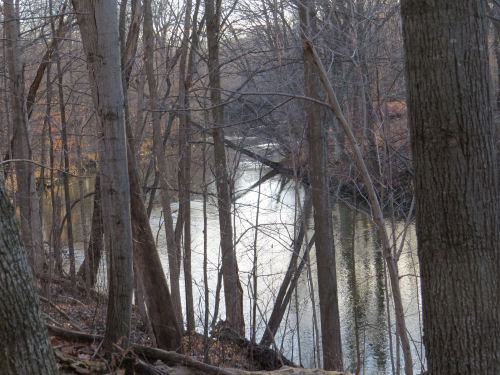
a group of Jordan Valley 45° hikers (photo provided)
|
compiled from various sources
I am attempting to build an actual calendar so that notices could be seen more than a few days in advance. Projected launch date: Nov 25
November 15 is the opening day of gun deer hunting season. Some events are planned where there is no hunting.
**********
Friday, Nov 14- Muskegon
10:00- 3:00
planting dune grass
Meet at Lincoln St. Parking Lot. 3071 Lincoln St. Norton Shores, MI
Free
Join Muskegon County Parks and the Muskegon Conservation District for volunteer planting days at Dune Harbor Park this month! We will plant dune grass —throughout the beautiful new Dune Harbor Park!
These plantings will restore dunes, improve wildlife habitat, and strengthen a healthier, more resilient coastal ecosystem.
Who can join: Everyone! Whether you’re a nature enthusiast, student, family, or community group, no experience is needed—just bring your energy and love for the outdoors.
What to bring: Sturdy shoes, Weather-appropriate clothing,
Water bottle
Help restore and protect our dunes by planting trees and dune grass—your efforts will make a real difference for our unique coastal ecosystem.
**********
Saturday, Nov 15- Petoskey
9:30 am for long hike, noon for short hike
7 miles or 3.5 mile options
Meet at Petoskey Brewing for long hike, at Bayfront Park for short hike
Free
The Jordan Valley 45° Chapter of the North Country Trail Association will host a hike in Petoskey on the NCT, from River Road Sports Complex to Petoskey State Park.
Two hike distances are available. Long Hike (~7.0 miles) 9:30:am – River Road Sports Complex (mile 65.0) to Petoskey State Park (mile 58.0, conveniently right next to Petoskey Brewing Company).
Landmarks along the way: River Road Sports Complex, the tool box, Bear River Bridge, North Central Michigan College, Bear River Walkway and Bayfront Park. If there is interest, we will tack on a side hike into Petoskey State Park.
Short Hike (~3.5 miles) about noon - Park at Bayfront Park (mile ~61.5) and join the group coming down from the River Road Sports Complex. Consider hiking south along the Bear River and meeting the rest of us coming north.
As always, dress for the weather, bring plenty of water and snacks. Afterwards we plan on lunch at the Petoskey Brewing Company.
The Jordan Valley 45° Chapter’s trail runs from Starvation Lake Rd. (SE of Mancelona) to Kipp Rd. near Harbor Springs. A terrific 79 miles of awesome valleys, hills and wooded trail. Monthly hikes are usually on the third Saturday of the month.
For more information, call or text Bob Courtois at 248-212-6699. Please identify yourself if you text.
**********
Saturday, Nov 15- Hike Muskegon regular hike
11 am
locations and lengths vary, see link below
The Hike Muskegon- West Michigan Parks group hikes every Tuesday and Saturday at 11:00 am (and occasionally other times). Their destinations are posted only a couple of days ahead of time, so check the Facebook Group to find where the next hike will be.
For more information, see the Hike Muskegon Facebook Group
**********
Saturday, Nov 15- Ludington State Park
11:30 am
1 mile on paved trail
Meet at Hamlin Dam
Free
Learn the history of Ludington State Park. Meet at Hamlin Dam. 11:30 am. Approximately 1 mile on paved paths.
Once home to the old town of Hamlin and later improved upon by the CCC, the area has transformed over time in to a cherished destination for outdoor recreation and conservation.
Changes/cancellation will be announced two hours in advance at 231-843-2423
**********
Saturday, Nov 15- Ludington State Park
1 pm
1 mile on paved paths
Meet at the Beach House.
Free
Dune Ecology at Ludington State Park. Meet at the Lake Michigan Beach House. 1 pm. Approximately 1 mile on paved paths.
Explore the unique dune ecosystems on a guided hike with state park staff. Discover why the shifting sands create homes for some of the most unique plants and animals in Michigan and how they prepare for the cold weather.
Changes/cancellation will be announced two hours in advance at 231-843-2423
**********
Saturday, Nov 15- Rockford
Western Michigan Chapter NCTA
1:00 PM
paved White Pine Trail- out and back about 5 miles
Rockford City Parking
Free
For our November chapter hike, we'll enjoy a paved stretch of the Fred Meijer White Pine Trail from Rockford to Stegman Creek! Meet at the City of Rockford parking lot just north of Rockford Footwear Depot on Saturday, November 15, at 1:00 p.m. (note that this hike begins in the afternoon - not the morning like many of our monthly hikes).
For more information, contact Chris
**********
To have your quiet outdoor recreational event in West Michigan listed, contact Joan Young. They will be posted the Monday before the event.
These links are checked on the date of the article. As the article ages, some links may become invalid
To have your quiet outdoor recreational event in West Michigan listed, contact Joan Young. They will be posted the Monday before the event.
Go To www.getoffthecouchnews.blogspot.com for all the news
See Get Off The Couch